Advanced technologies are constantly shaping our society, from computers to laptops, phones to mobile phones, and smartphones. While technology itself undergoes constant reinvention, data serves as the essential fuel that powers its progress. From simple calculations to complex AI, data has always been the foundation on which technological advancements are built, but its form and significance have continuously evolved. There are many different types of data, including numerical data (e.g., age, population, temperature etc), categorical data (e.g., hair color, city etc), and textual data (e.g., emails, survey responses). This data can be further represented in various ways, such as tables, charts, graphs, and maps.
Presenting this data effectively is crucial for understanding patisterns and trends. Let’s have an overview of choropleth map and see how it helps analyze spatial data. Choropleths rely on defined boundaries like regions or countries. ‘Choropleth’ comes from two Greek words: ‘Choros,’ meaning area or region, and ‘Plethos,’ meaning multitude. Therefore, it is evident that the Choropleth map depicts two or more areas or countries, each with a different value for a single attribute.
Choropleth map offers flexible scalability at all levels (country, state, or city) while assisting analysts in seamlessly identifying critical hotspots, extremes, or anomalies.
Data visualization is pivotal in uncovering patterns, identifying trends, and driving informed decision-making. Among various visualization techniques, choropleth maps hold a unique place, using color gradients to represent the values of a single attribute across geographic regions.
This blog delves into choropleth maps and explores how Splunk, a powerful data analysis platform, empowers you to create them seamlessly. By the end, you’ll understand the basics of choropleth maps, their advantages, and how Splunk simplifies their creation with its robust features.

Imagine a map where different countries or regions are painted with varying shades of color, each shade representing a specific value for a chosen attribute, like population density or unemployment rate. That’s essentially a choropleth map! These thematic maps offer a visually impactful way to analyze and compare data across geographic areas, making them valuable tools for diverse fields like demographics, economics, and public health.
Choropleth maps offer several advantages for data exploration and analysis:
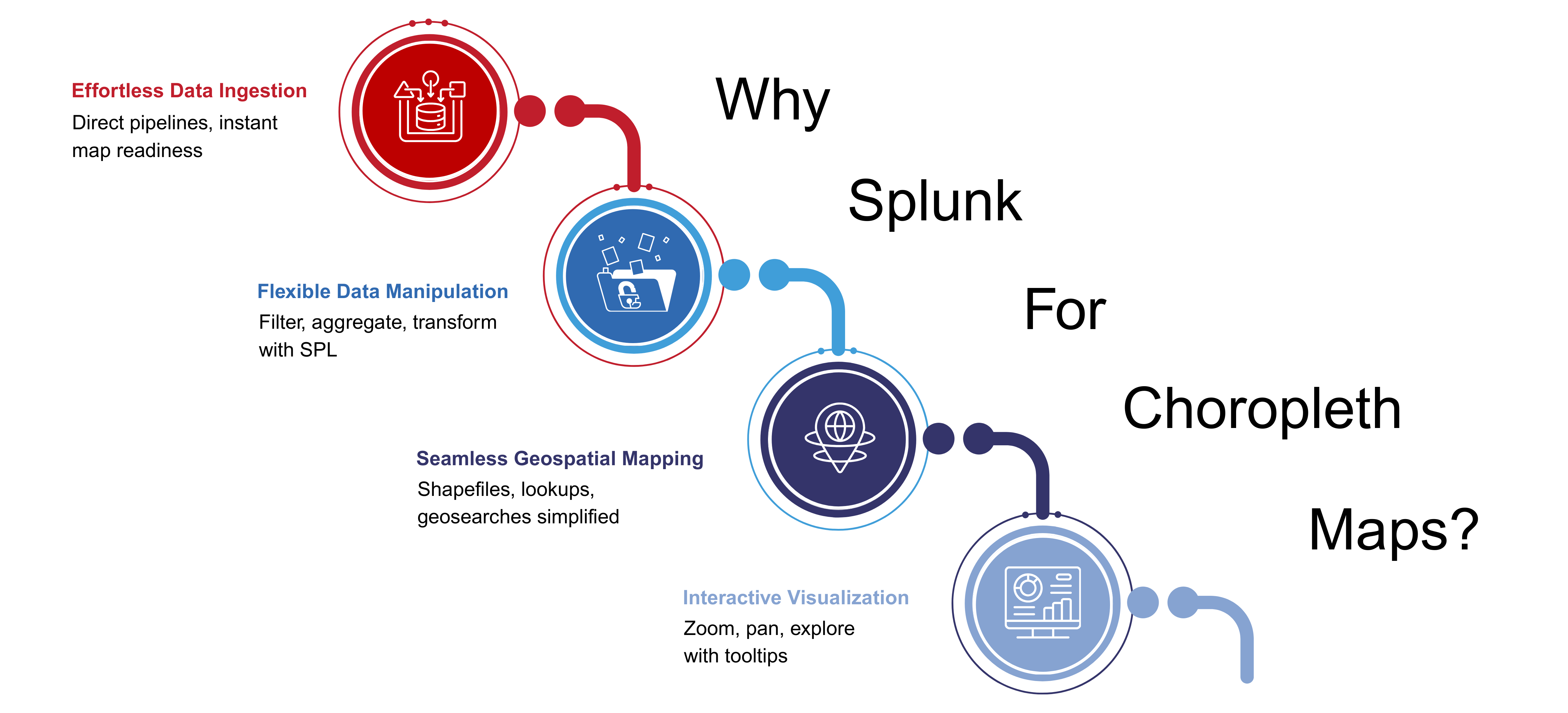
So, if you have read this far, you must be eager know how to use it. For this, there are an array of options available. Yet, if we talk about the leading one, it is the Splunk software. But why is it so? Here are the four key reasons to justify this.
Splunk isn’t just a data analysis platform; it’s a geospatial visualization powerhouse. Here’s how it simplifies choropleth map creation:
Splunk provides a user-friendly environment to dive into choropleth maps. Let’s explore some examples to understand the process:
These snippets represent three examples of creating choropleth maps using Splunk. Let’s break down each one:
The first snippet starts by looking up data about attributes of different countries from a lookup table named geo_attr_countries.
It selects two fields: country and region_un.
It then associates the data with geographic shapes of countries from another lookup table geo_countries. This table needs a field identified by country to match with the attribute data.
This setup essentially prepares data and geometries for a choropleth map where different colors or shades represent the values of an attribute (e.g., population density, poverty rate) for each country.
| inputlookup geo_attr_countries
| fields country, region_un
| geom geo_countries featureIdField=country
| inputlookup states_pop_density.csv
| fields state, region
| geom geo_us_states featureIdField=state
Like the first example, this prepares data and geometries for a choropleth map where different colors or shades represent population density variations across US states.
| inputlookup craigslist.csv
| lookup geo_sf_neighborhoods latitude AS location.lat, longitude AS location.long OUTPUT featureId AS neighborhood
| stats median(price) by neighborhood
| geom geo_sf_neighborhoods featureIdField=neighborhood
This example prepares data and geometries for a choropleth map showing median Craigslist housing prices across different neighborhoods in San Francisco.
These snippets showcase how to create choropleth maps in Splunk by combining data with geographic information. You can adapt these examples to visualize various data points on maps according to your needs.
Remember, these are just starting points. You might need to adjust the data sources, calculations, and visualization options based on your specific data and desired map presentation.
The components required for creating geographic visualizations & the Choropleth map options & the Choropleth map options.
Effective data presentation is not just a necessity but a crucial driver for organizational growth and informed decision-making. Choropleth maps created with Splunk offer a robust tool to explore geospatial trends and gain valuable insights from your data.
However, navigating this array of data comes with challenges, including cyber threats and attacks. This is where a professional Splunk partner like bitsIO comes into play, ensuring a seamless and fruitful Splunk journey.
Visit bitsIO today to achieve the client satisfaction and success you’ve always desired.
Stay tuned for more updates in our upcoming blog posts.
Also, read our blog on “Enhanced Visual Control for Data Analysis."